Hiking the Magnificent Gaustatoppen Mountain
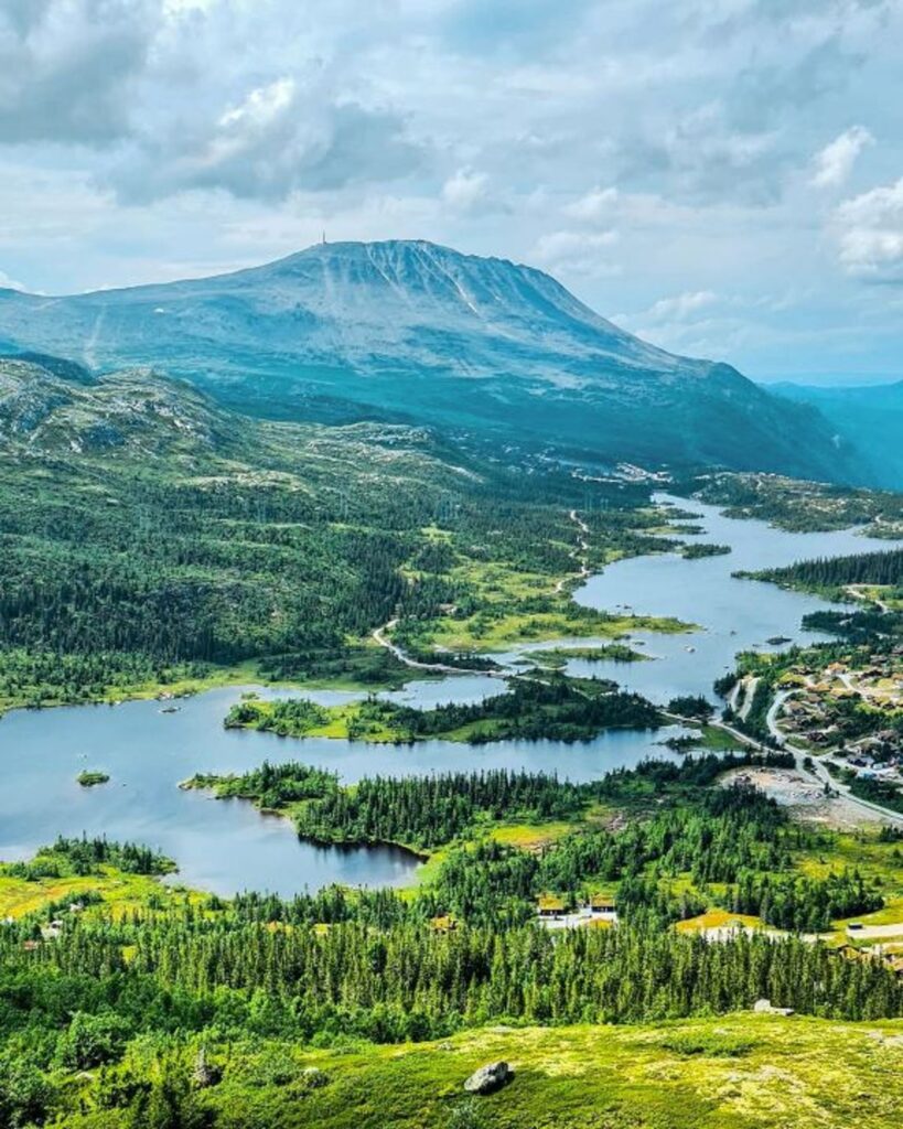
Nestled in the heart of Norway, Gaustatoppen Mountain is a hiker’s paradise offering breathtaking views and a rewarding outdoor experience. Standing at 1,883 meters, it is the highest peak in Southern Norway and provides a panoramic view that stretches over one-sixth of the country on a clear day. Whether you’re an avid hiker or a nature enthusiast, Gaustatoppen promises an unforgettable adventure.
What to See
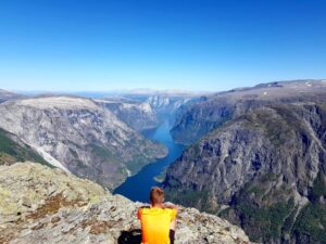
The main attraction of Gaustatoppen is undoubtedly the stunning 360-degree view from the summit. On a clear day, you can see as far as 200 kilometers, encompassing the beautiful landscapes of Telemark and beyond. The hike itself is a visual treat, with diverse terrain ranging from lush forests to rocky paths. Along the way, you’ll encounter unique flora and fauna, adding to the charm of the journey. At the top, there’s a cozy cabin where you can rest and enjoy a warm drink while soaking in the views.
A Bit of History and Interesting Facts
Gaustatoppen has a rich history intertwined with both local culture and military significance. During World War II, the mountain was used as a strategic lookout point. Today, it houses the Gaustabanen, a unique funicular railway built inside the mountain, originally intended for military use. This railway is now open to the public, offering an alternative way to reach the summit for those who prefer not to hike. An interesting fact about Gaustatoppen is that it is often referred to as the “roof of Telemark” due to its towering presence and the expansive views it offers.
Getting There and Tips for First-Time Visitors
Reaching Gaustatoppen is relatively straightforward. The nearest town is Rjukan, which is well-connected by road. From Rjukan, it’s a short drive to the trailhead at Stavsro, where you can begin your hike. If you’re not driving, there are buses available from Rjukan to the starting point during the hiking season. For those who prefer a less strenuous journey, the Gaustabanen funicular offers a unique and scenic ride to the top.
For first-time visitors, it’s important to prepare adequately. The hike to the summit takes about 2-3 hours each way, depending on your pace. Wear sturdy hiking boots and bring layers, as the weather can change rapidly. It’s also wise to carry water, snacks, and a map. While the trail is well-marked, having a map ensures you stay on track. Lastly, check the weather forecast before you go, as visibility can greatly affect your experience at the summit.


